GNSS
SLi
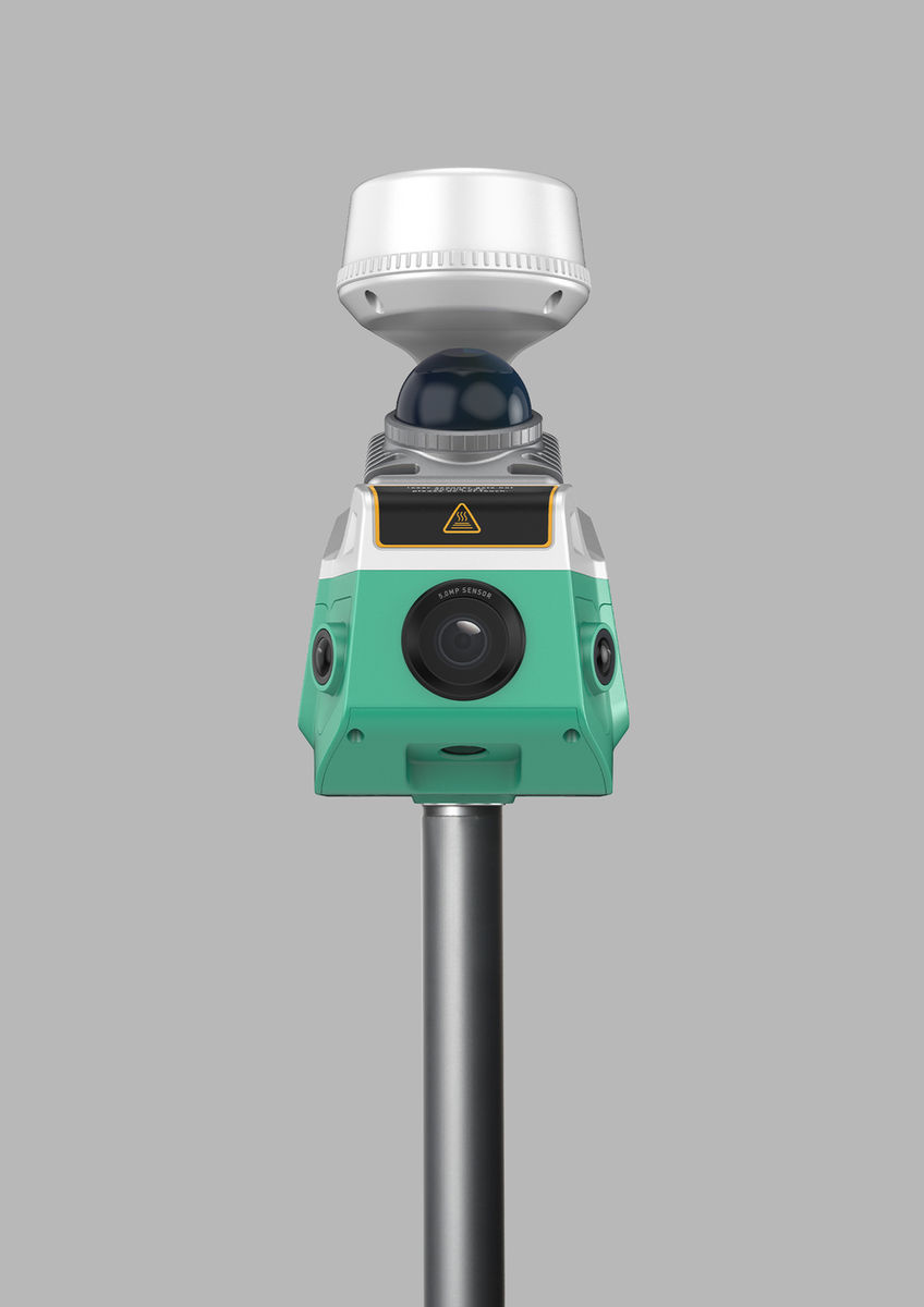
SLAM GNSS receiver that combines high-precision GNSS, LiDAR scanning and photogrammetry in one device.
SLi brings GNSS positioning, laser scanning and camera imaging together in a single receiver. It supports RTK, NTRIP, static and PPK workflows, produces colourised 3D point clouds, and keeps measuring for a short time when satellite signals are blocked. Detached into handheld mode, it becomes a SLAM LiDAR scanner whose point clouds are georeferenced to absolute coordinates.
- GNSS channels
- 1,808
- GNSS channels
- Points per second
- 200,000
- Points per second
- Scanning range
- 70 m
- Scanning range
- Relative accuracy
- 2 cm
- Relative accuracy
Main Capabilities
FreeFix
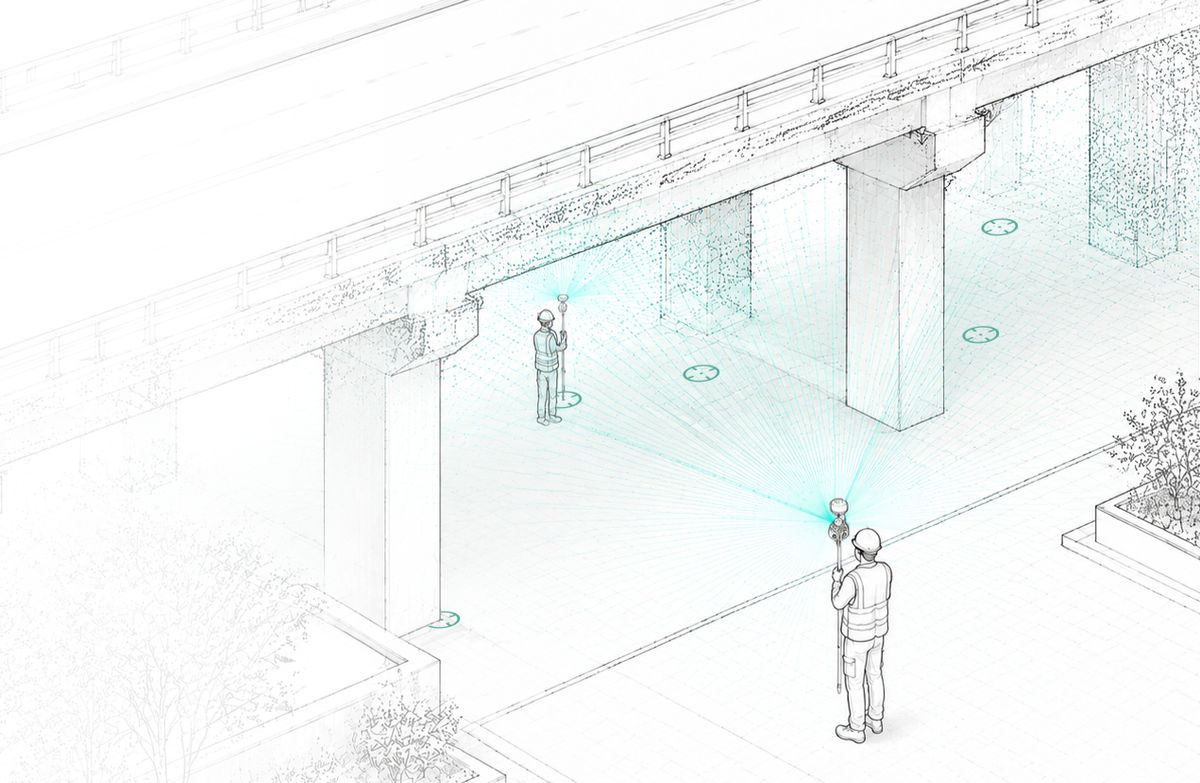
Get a fixed solution in open sky, then carry on under bridges, in tunnels or between tall buildings. IMU and LiDAR fusion keeps point collection and stakeout accurate for up to 1 minute without continuous satellite visibility.
VisionPick
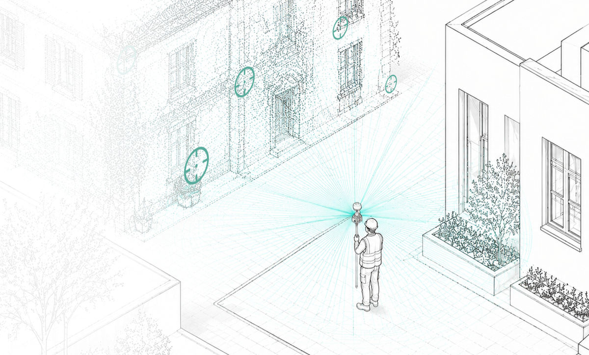
Using 3D scanning and camera-based visual positioning, Field Master lets you tap any point in a captured image and get its coordinates.
3D Scanning & Modelling
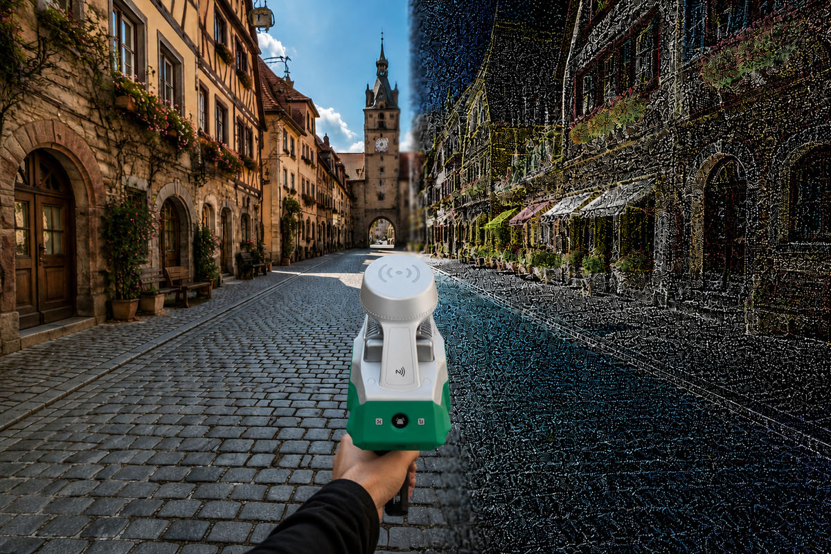
In handheld mode SLi works as a SLAM LiDAR scanner with a real-time point cloud view in Field Master, and GNSS georeferences every point cloud with absolute coordinates.
Key Features
- GNSS, LiDAR and imaging in one receiver
- RTK, NTRIP, static and PPK working modes
- All-constellation tracking with the ZENITH algorithm
- FreeFix: keeps working for up to 1 minute without satellites
- VisionPick: pick coordinates straight from a captured image
- AR stakeout and visual positioning
- Handheld SLAM scanning with real-time point cloud preview
Specifications
GNSS System
| Channels | 1,808 |
| Constellations | All constellations |
| Working Modes | RTK, NTRIP, Static, PPK |
| Positioning Engine | ZENITH algorithm, anti-interference |
LiDAR System
| Scanning Rate | 200,000 points/s |
| Scanning Range | 70 m |
| Field of View | H 360° × V 59° |
| Relative Accuracy | 2 cm |
Imaging System
| Imaging Sensors | 4 |
| Functions | Visual positioning, RGB point cloud colouring, AR stakeout |
Applications
Related Products

GNSS
SDi
Laser X Visual GNSS receiver for measuring hard-to-reach points with RTK accuracy.

GNSS
SDc
Latest-generation pocket-sized RTK receiver with dual cameras and AR CAD stakeout.

GNSS
Xs
Pocket-sized laser RTK rover with LaserFix, visual targeting and a built-in Rx radio.