Products
Our Products
Comprehensive range of precision measurement and surveying solutions for geospatial, civil engineering, agriculture, and monitoring applications.
Product Categories
Browse our products by category or view all products.

GNSS
High-precision GNSS receivers and solutions for accurate positioning, data collection, and seamless integration with other tools.

Total Station
Advanced optics and digital processing for highly accurate 3D coordinates in surveying, construction, and engineering applications.

Laser Scanner
Advanced systems integrating real-time processing, color imaging, and mobile platforms for surveying, BIM, archaeology, and autonomous systems.
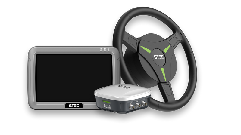
Auto Steering
Enabling precise row-following, overlap reduction, boosting efficiency while saving fuel, seeds, and labor.

Software
Professional software solutions for device control, data collection, and post-processing across all STEC products.

Optics
Precision optical instruments including theodolites, digital levels, and auto levels for accurate measurement.

Accessories
Complete range of accessories including tripods, reflectors, poles, and staffs for all STEC instruments.
All Products
Browse our complete product catalog.

GNSS
SLi
SLAM GNSS receiver that combines high-precision GNSS, LiDAR scanning and photogrammetry in one device.

GNSS
SDi
Laser X Visual GNSS receiver for measuring hard-to-reach points with RTK accuracy.

GNSS
SDc
Latest-generation pocket-sized RTK receiver with dual cameras and AR CAD stakeout.
GNSS
SV5
Dedicated base receiver with a 5 W internal radio and a working range of over 20 km.
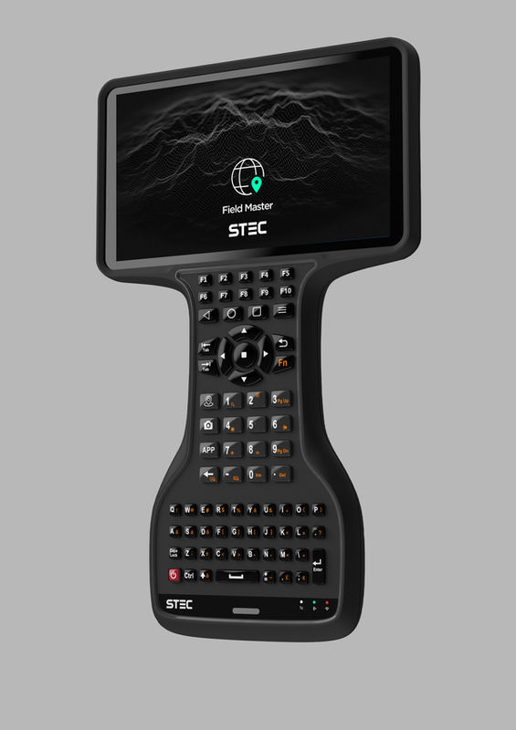
GNSS
S Pad
7-inch rugged controller with a full illuminated keyboard, running Android 14.

GNSS
S Pod
Rugged 5.5-inch controller weighing only 440 g, built for professional surveyors.

GNSS
LRB
Palm-size external radio with internal battery, 10–20 km range and wireless connection.

GNSS
SDi Pro
Next-generation Laser X Visual GNSS receiver: longer range, faster initialisation and clearer cameras.

GNSS
Xs
Pocket-sized laser RTK rover with LaserFix, visual targeting and a built-in Rx radio.

GNSS
SE Lite
Apple-sized GNSS receiver with 1,408 channels, the ZENITH algorithm and EZtilt.

GNSS
SV1
GNSS receiver built for AR stakeout, with 1,408 channels and IP68 protection.

GNSS
S Pod Pro
Next-generation rugged controller for professional surveyors in harsh environments.

Software
Field Master
One Android app to operate and configure STEC GNSS receivers, total stations and SLAM RTK devices.

Software
Geomaster Solution
Post-processing and PPK software for GNSS measurements on PC.

Total Station
AXIS SP
Compact robotic total station with 1"/2" accuracy, xTrak prism lock and 600 m long-range Bluetooth.

Total Station
AXIS 10
Robotic Total Station with 0.5/1" angle accuracy and 6.0-inch touch screen.

Total Station
AXIS 1
Manual total station with 2" accuracy, 1500 m non-prism range and a 16-hour battery.
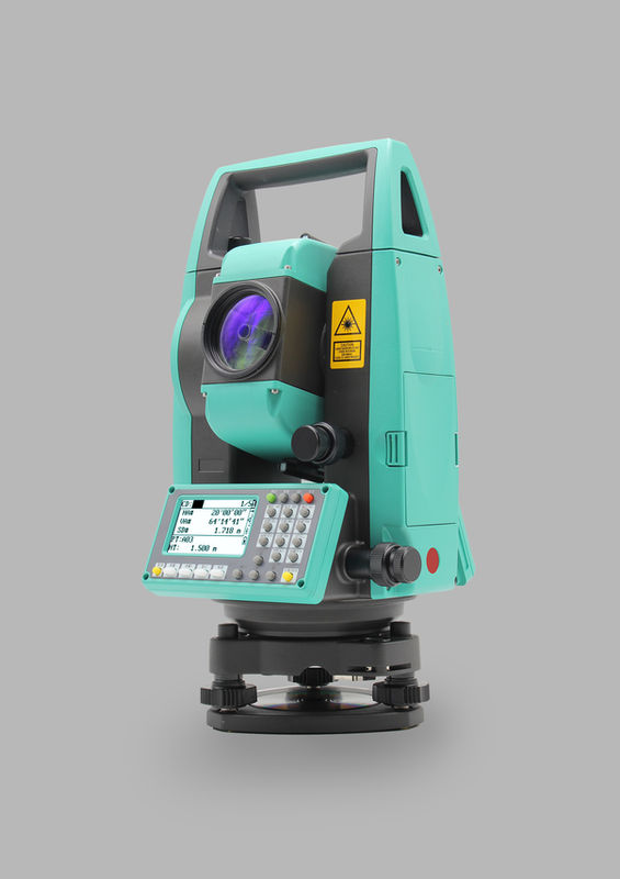
Total Station
AXIS 2
Manual total station with long-range EDM, iconic display and hot keys.
Total Station
AXIS 4
Total station with a 4-inch colour touch screen, graphical display and up to 2000 m non-prism range.

Total Station
AXIS 9
Android total station with a 5-inch touch screen, Auto H.I and CAD stakeout.


Total Station
AXIS 3
Total station with a colour touch screen, Auto H.I and MSR1/MSR2 measure modes.

Total Station
AXIS 8
Manual Total Station with Android 14 and dual-laser EDM.

Total Station
ARMOR 3B
Durable manual total station with 2" accuracy, 1500 m non-prism range and a 16-hour battery.

Total Station
SK 2
Manual total station for construction with 2" accuracy and an 8-line display.
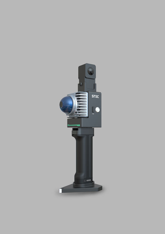
Laser Scanner
LiScan50
Wireless handheld SLAM laser scanner: 360° × 59° FOV, 70 m range and an 18 MP panoramic camera.
Laser Scanner
LiScan100
Rotating handheld/backpack SLAM scanner: 360° × 260° FOV, 120/300 m range, 72 MP camera and built-in GNSS.
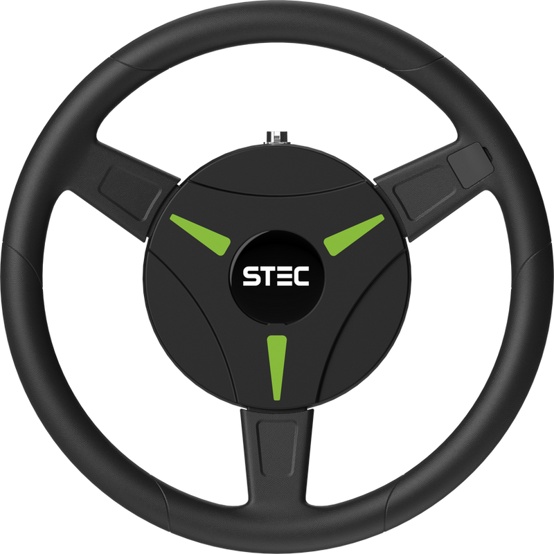
Auto Steering
AgriPilot AP10
Compact automated steering solution for quick and straightforward installation.

Auto Steering
GC10
GNSS receiver with INS terrain compensation for auto steering.


Software
Terra Master
Android app for robotic total station AXIS SP, AXIS 10 and S Pad.

Software
Agri Master
Tailor-made Android app for the AgriPilot auto-steering system.

Software
CloudIO
Post processing software for point cloud data acquired by SLi.

Optics
SET-2D
Electronic theodolite with integrated EDM: 2" accuracy and 300 m range with prism.


Optics
DLS-03
Digital level with 0.3mm height accuracy, color touch screen, Bluetooth.

Optics
DLS-15/07
Digital level with 1.5/0.7mm accuracy and dot matrix display.
Optics
DLS-07A
Digital level with 0.7mm accuracy, bigger screen, alphanumeric keyboard.


Accessories
Fiberglass-Wooden Tripod
Fiberglass-wooden tripod from the STEC accessory range.

Accessories
Heavy-Duty Tripod
Heavy-duty tripod from the STEC accessory range.

Accessories
Aluminum Tripod (Type 2)
Aluminum tripod from the STEC accessory range.

Accessories
Compress Lock Pole
Surveying pole with a compress lock from the STEC accessory range.
Accessories
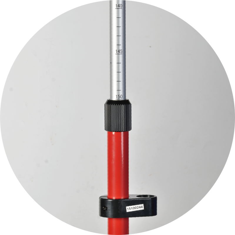
Twist Lock Pole
Surveying pole with a twist lock from the STEC accessory range.

Accessories
Clamp Lock Pole
Surveying pole with a clamp lock from the STEC accessory range.



Need Help Choosing?
Our team can help you find the right product for your application.