Laser Scanner
LiScan100
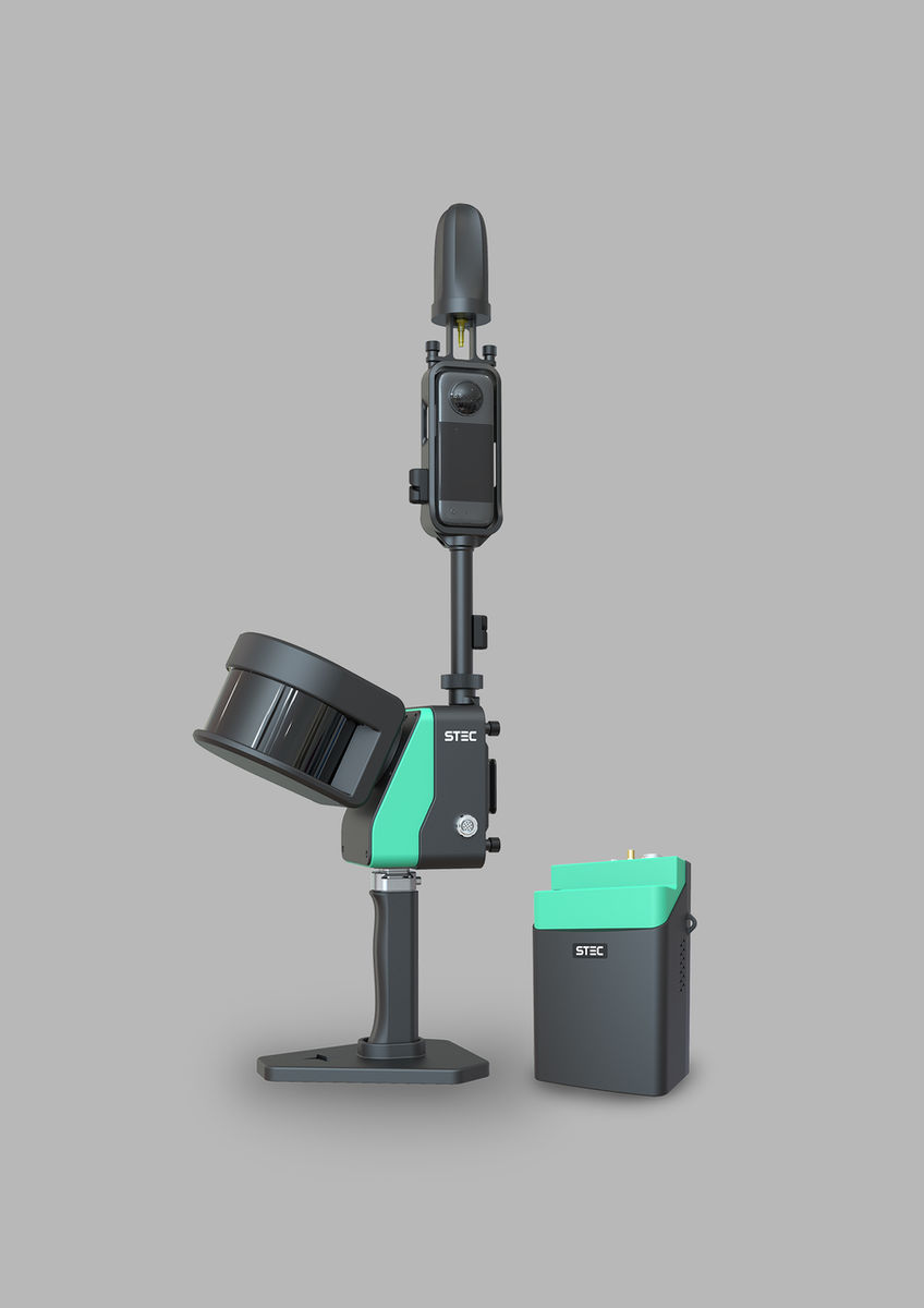
Rotating handheld/backpack SLAM scanner: 360° × 260° FOV, 120/300 m range, 72 MP camera and built-in GNSS.
LiScan 100 uses a rotating scan head and advanced 3D SLAM to capture dense, colourised point clouds quickly in any environment, even without GNSS. Its built-in GNSS module supports CORS and RTK for directly georeferenced data, and it switches between handheld and backpack modes. It is widely used for building modelling, digital museums, shopping malls, digital factories, tunnels and underground spaces.
- Field of view
- 360° × 260°
- Field of view
- Max. range
- 120/300 m
- Max. range
- Points per second
- 320,000
- Points per second
- Relative accuracy
- 1 cm
- Relative accuracy
Main Capabilities
Long Range & Super FOV
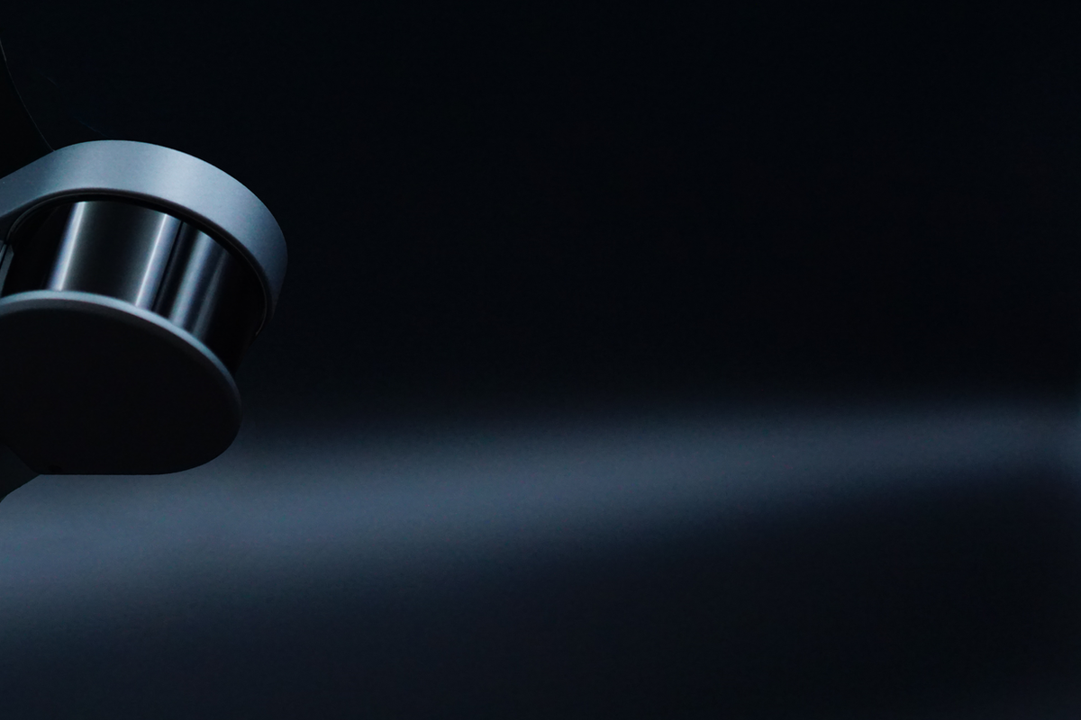
A rotating laser sensor gives a 360° × 260° field of view, 120 m / 300 m range and 320,000 points per second.
Handheld or Backpack
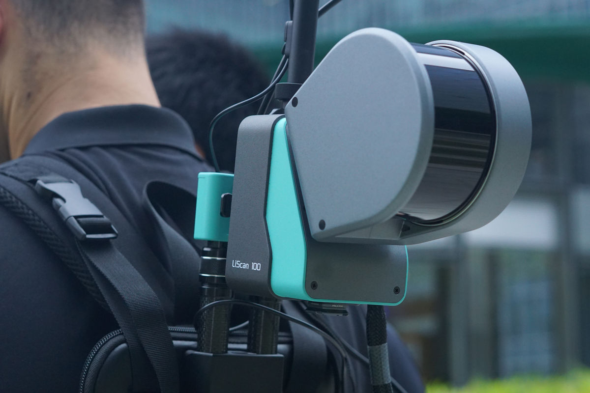
Switch measuring mode freely for different scenes, with simple assembly and 3 hours from a single battery.
Sturdy and Durable
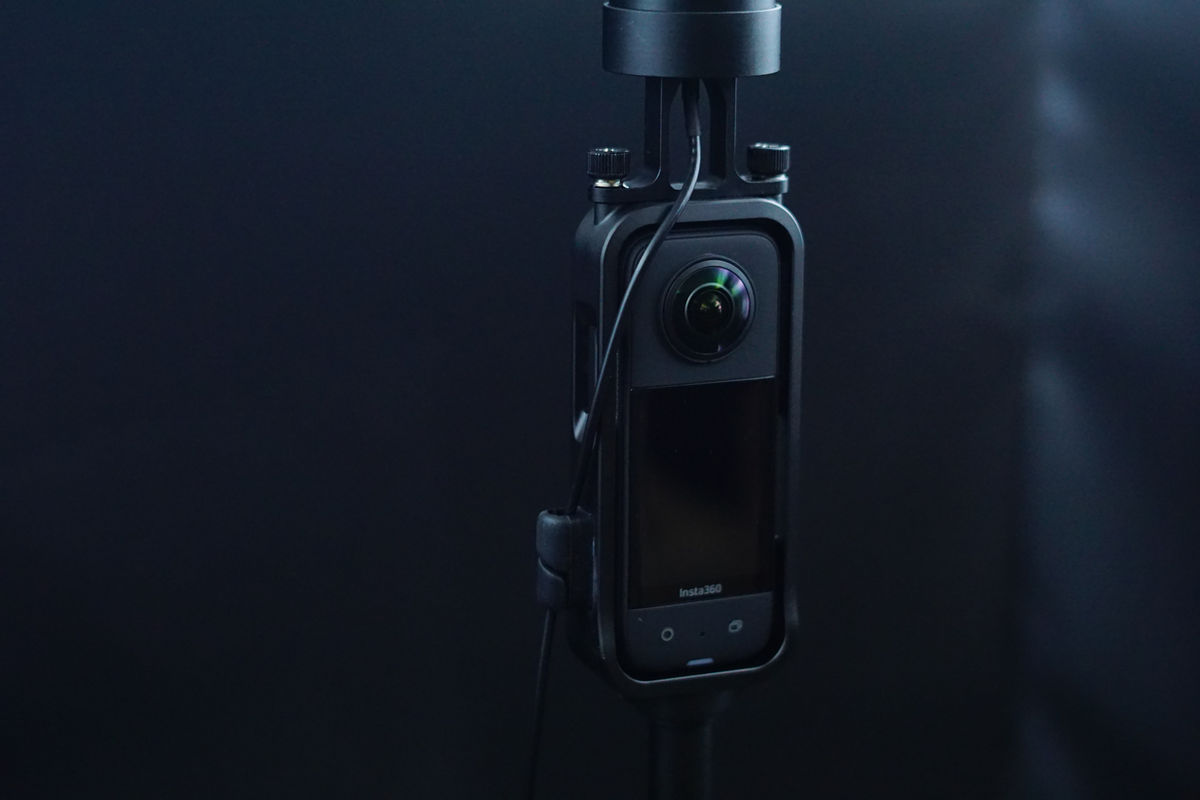
Premium aviation aluminium with a ceramic coating extends service life in harsh environments.

CORS & Direct Georeferencing
A built-in GNSS module supports CORS connection and RTK through the app, producing georeferenced point clouds.
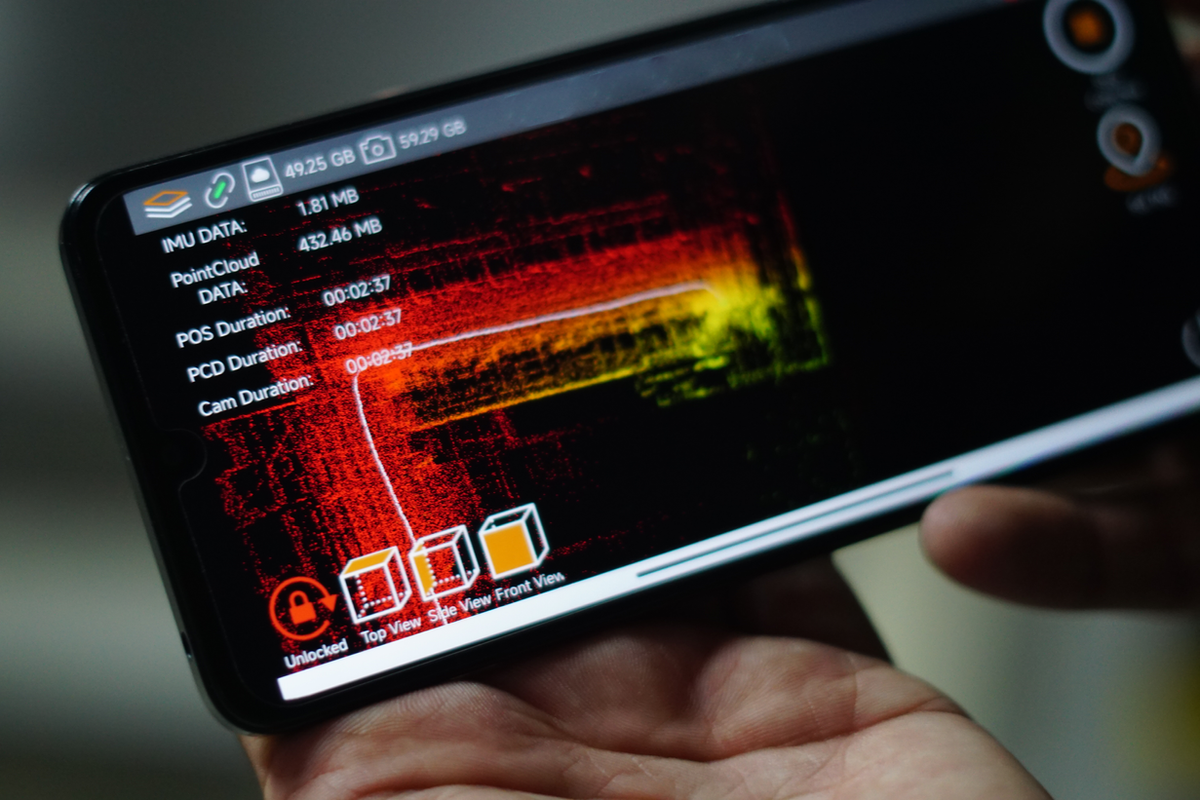
Real-Time Preview on App
Browse scan tracks and point clouds from several angles in real time and monitor each sensor's status.
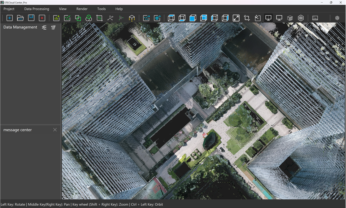
Advanced Algorithm
Advanced SLAM delivers centimetre-grade output and faithfully restores complex real-world scenes.
72 MP Panoramic Camera
Capture 5.7K 360° video and generate colourised 3D point clouds with one press.
Key Features
- Rotating laser for a wider field of view
- 72 MP panoramic camera with 5.7K 360° video
- Built-in GNSS with CORS and RTK georeferencing
- Handheld or backpack mode
- Aviation aluminium body with ceramic coating
- Real-time point cloud preview in the app
- 3 hours per battery
Specifications
| Type | Handheld / Backpack Laser Scanner |
| Field of View | H 360° × V 260° |
| Max. Range | 120 m / 300 m |
| Scanning Rate | 320,000 points/s |
| Relative Accuracy | 1 cm |
| Absolute Accuracy | 3–5 cm |
| Camera | 72 MP panoramic, 5.7K 360° video |
| Positioning | Built-in GNSS, CORS / RTK |
| Battery Life | 3 hours (single battery) |
Applications
Related Products

GNSS
SLi
SLAM GNSS receiver that combines high-precision GNSS, LiDAR scanning and photogrammetry in one device.
Laser Scanner
LiScan50
Wireless handheld SLAM laser scanner: 360° × 59° FOV, 70 m range and an 18 MP panoramic camera.

Software
CloudIO
Post processing software for point cloud data acquired by SLi.
Interested in LiScan100?
Request a quote or register your product today.