
Laser Scanner
LiScan50
Wireless handheld SLAM laser scanner: 360° × 59° FOV, 70 m range and an 18 MP panoramic camera.
LiScan 50 is a wireless, lightweight handheld scanner that captures accurate point clouds and panoramic images together, using SLAM to record data on the move. Just power it on and go: it detects from 10 cm to 70 m, resists interference from other LiDAR signals indoors, and works in bright or low light.
- Field of view
- 360° × 59°
- Field of view
- Max. range
- 70 m
- Max. range
- Relative accuracy
- 2 cm
- Relative accuracy
- Panoramic camera
- 18 MP
- Panoramic camera
Main Capabilities

Intense and Intelligent
A compact, lightweight body with an 18 MP panoramic camera, 360° × 59° field of view, 200,000 points per second and 70 m scanning distance.
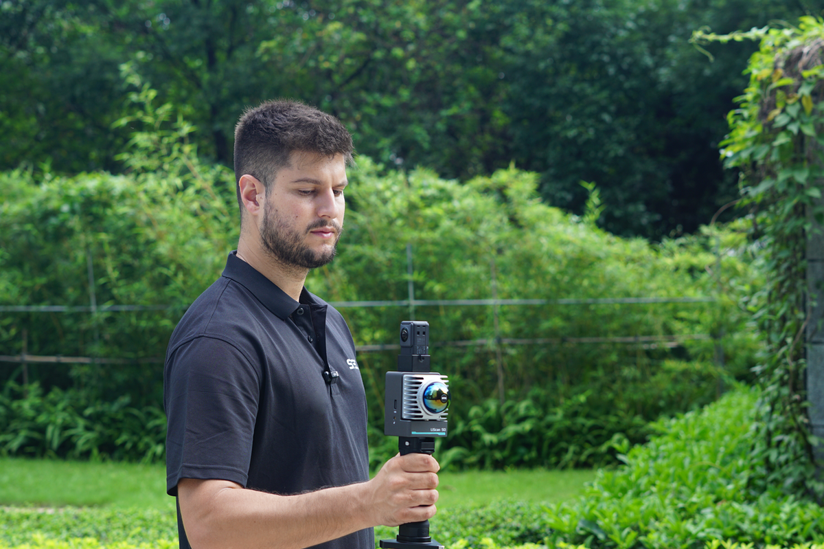
Easy to Use
Just power on and go: LiScan 50 captures accurate point clouds and panoramic images in one pass.
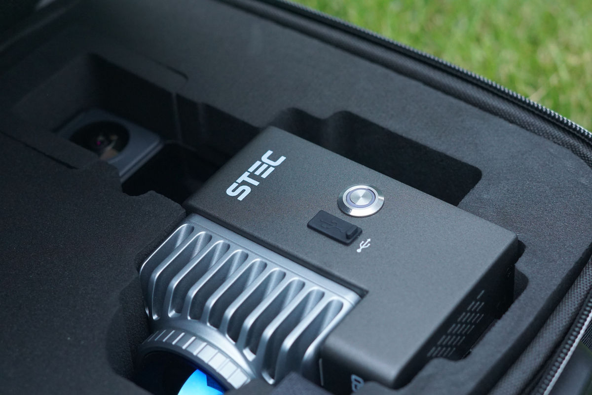
Precise and Powerful
Detects from 10 cm to 70 m to remove blind spots, resists interference from other LiDAR signals indoors, and works in bright or low light.
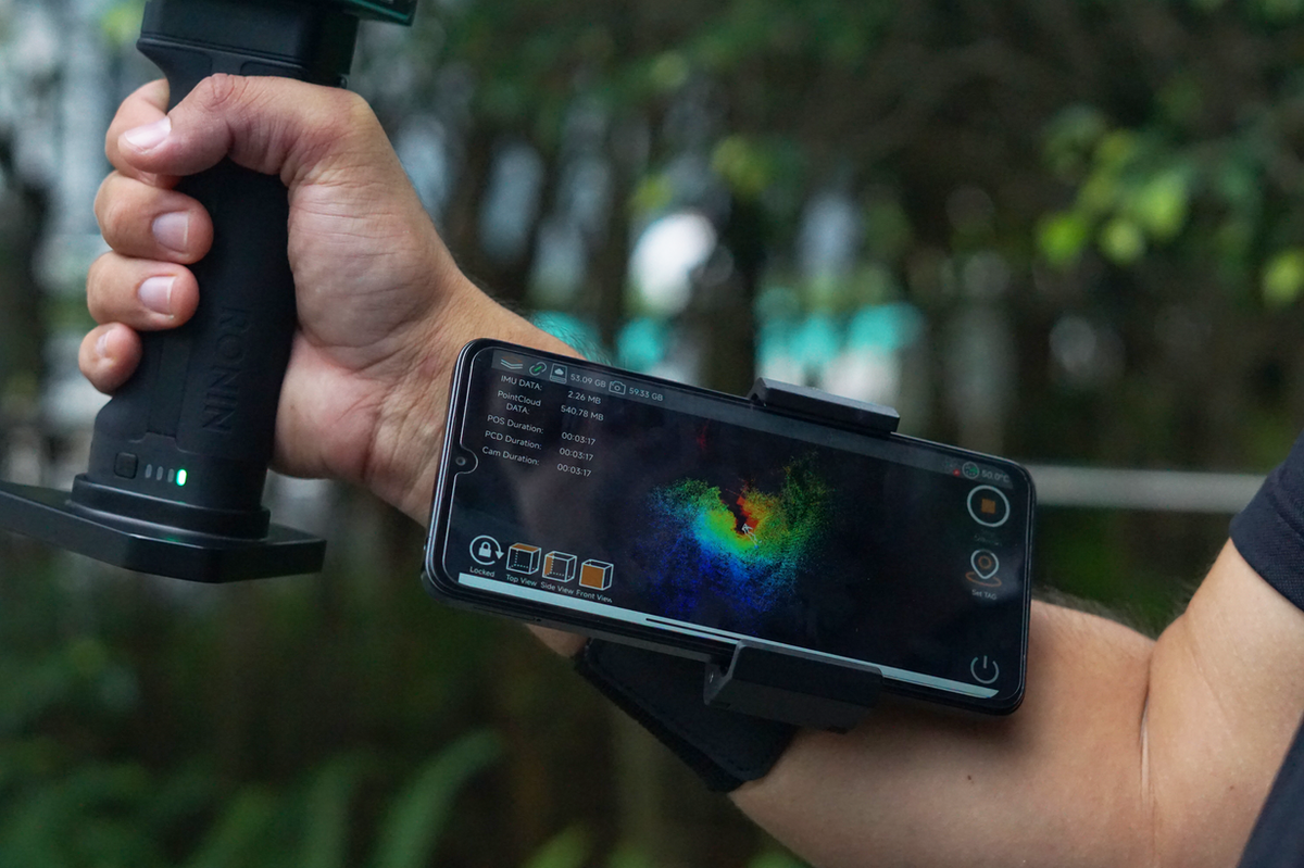
Improved SLAM Algorithm
Stable scanning with better adaptability to different scenes.
Key Features
- Compact, lightweight body (about 1 kg)
- 200,000 points per second
- 18 MP panoramic camera
- Detection from 10 cm to 70 m
- Resistant to multi-LiDAR interference
- Improved SLAM algorithm
Specifications
| Type | Handheld Laser Scanner |
| Field of View | H 360° × V 59° |
| Max. Range | 70 m (detection from 10 cm) |
| Scanning Rate | 200,000 points/s |
| Relative Accuracy | 2 cm |
| Absolute Accuracy | 5 cm |
| Camera | 18 MP panoramic |
| Weight | About 1 kg |
Applications
Related Products

GNSS
SLi
SLAM GNSS receiver that combines high-precision GNSS, LiDAR scanning and photogrammetry in one device.

Laser Scanner
LiScan100
Rotating handheld/backpack SLAM scanner: 360° × 260° FOV, 120/300 m range, 72 MP camera and built-in GNSS.

Software
CloudIO
Post processing software for point cloud data acquired by SLi.
Interested in LiScan50?
Request a quote or register your product today.